Invasive weeds pose a significant threat to biodiversity and ecosystem health. For land managers, identifying and prioritising treatment zones can be a daunting task. However, citizen science platforms like iRecord offer a powerful tool to crowdsource weed sightings and streamline the management process. Here’s how land managers can leverage iRecord to enhance their invasive weed control efforts.
Understanding iRecord
iRecord is a citizen science platform designed to collect and share wildlife observations. Operated by the Biological Records Centre (BRC) as part of the UK Centre for Ecology & Hydrology (UKCEH), iRecord aims to make it easier for wildlife sightings to be recorded, checked by experts, and made available to support research and decision-making1.
Key Features of iRecord
- Data Collection: Users can record all the wildlife they see, including invasive weeds, and securely store this information.
- Expert Review: Observations are subject to automatic data checks and can be reviewed by experts to ensure accuracy.
- Data Sharing: Sightings are shared with the recording community and made available to National Recording Schemes and Local Environmental Records Centres.
- Dynamic Maps and Reports: Users can explore maps, reports, and graphs of their data, as well as data shared by others in their area.
- Contribution to Science: By participating, users contribute to scientific research and conservation efforts1.
How Land Managers Can Benefit
Crowdsourcing Weed Sightings
By encouraging the public to use iRecord, land managers can crowdsource the detection of invasive weeds. This collective effort can cover a much larger area than traditional surveying methods, providing a comprehensive overview of weed distribution.
Prioritising Treatment Zones
With a wealth of data at their fingertips, land managers can use iRecord to identify hotspots of invasive weed activity. This information is crucial for prioritising treatment zones, ensuring that resources are allocated effectively.
Engaging the Community
Citizen science platforms like iRecord foster community engagement. By involving local residents and volunteers in the data collection process, land managers can raise awareness about the importance of invasive weed control and garner support for their efforts.
Informed Decision-Making
The data collected through iRecord is not only valuable for immediate treatment but also for long-term planning. Land managers can track the effectiveness of their control measures over time and adjust their strategies accordingly.
Getting Started with iRecord
Register and Record
Land managers can register on iRecord for free and start recording their own observations. Encouraging staff and volunteers to do the same will enhance the data collection process.
Promote iRecord to the Public
Use local media, social networks, and community events to promote iRecord and encourage the public to record their sightings of invasive weeds. Providing clear instructions and resources will make it easier for people to participate.
Collaborate with Experts
iRecord’s expert review process ensures that the data collected is accurate. Land managers can collaborate with these experts to gain insights into the distribution and impact of invasive weeds in their area.
Analyse and Act
Regularly analyse the data collected through iRecord to identify trends and hotspots. Use this information to inform your treatment strategies and allocate resources effectively.
Conclusion
Citizen science platforms like iRecord offer a powerful tool for land managers in the fight against invasive weeds. By leveraging the collective efforts of the community, land managers can enhance their detection and treatment strategies, ultimately protecting biodiversity and ecosystem health. Embracing this technology is a step towards more efficient and effective invasive weed control.
For more information on how to use iRecord, visit their website and explore the resources available. Together, we can make a significant impact on invasive weed management through citizen science.
Create and upload observations with the iRecord App
Available for iPhone and Android, options now include:
- Specific attributes on the casual recording form offered for certain groups
- (e.g. birds, bryophytes, dragonflies).
- Recording lists for plant/moth/general surveys.
- Linking to activities you’ve joined.
- Automatic image recognition to aid with ID.
- Extensive list of stage options for invertebrates.
- Geolocating survey entries.
- Notification on entering a new grid square during plant survey or species list surveys.
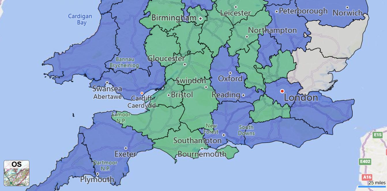
The Postcode Areas We Serve
Gloucester and Swindon
Birmingham and the Midlands
Bristol and the South West
Cardiff and South Wales